熊本市北区楡木
町内のハザードマップづくり
町内を実際に歩きながら
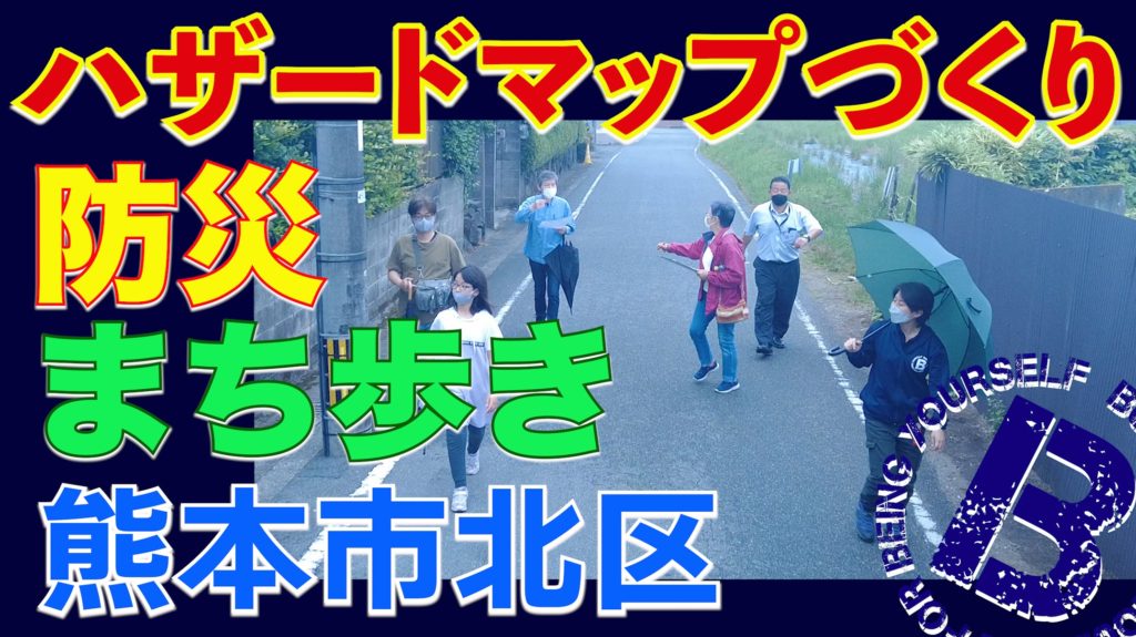
コロナの影響で昨年度から延期が続いた「ハザードマップづくり」自治会が区役所担当課や私たちとの打ち合わせを重ね、下準備をして本日開催されました。担当課の方からハザードマップ作成についての説明をいただき「防災まち歩き」雨天決行!4グループに分かれ町内を丁寧に歩きながら、第1避難場所、危険箇所、消火栓、防火水槽など様々な場所を写真に撮りながら確認しました。
再度集合し、それぞれのグループがまち歩きの結果を地図に落とし込み、ハザードマップのベースが完成!
歩きながらのおしゃべりも含め、わいわいマッピングしながらのコミュニケーションは、ご近所同士の住民が深く知り合い、普段からお互いを見守れる関係構築の一助になったと感じています。またバルビー寄贈の避難グッズも無事に配布することができました。
Creation of a Community Hazard Map at a neighborhood association.
We have been working together with this particular association for several years to build stronger community for disasters.
Map creation has been planned but postponed for a long time due to COVID-19, and finally!
Residents gathered to create their own hazard map. They first walked around the neighborhood in groups to check hazardous areas and roads, first assemble places when evacuating, etc. Then put out the info and photos to one map.
It will be printed out by the Ward office and the association will deliver to every household.
It seemed to be a great opportunity for residents to enjoy chitchat and to know each other.
We also delivered basic goods to prepare for disasters.
-
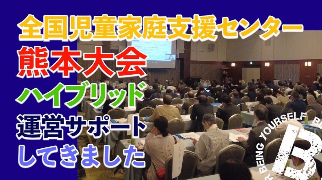
児家セン全国大会【ハイブリッド運営サポート】2Days
全国児童家庭支援センター研究協議会熊本大会 ハイブリッド運営サポート2days 2022… -

芦北町【被災地のいま】災害公営住宅入居前後のコミュニティ支援
芦北町地域支え合いセンター(支え合いセンター支援事務所アドバイザー研修) 芦北町… -
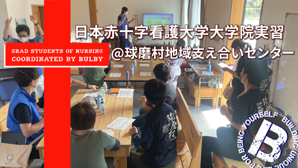
ナースと一緒に測ってガッテン【日本赤十字看護大学】院生実習
ナースと一緒に測ってガッテン! 日本赤十字看護大学大学院生実習受入れ https://… -
ハザードマップづくり【防災まち歩き】熊本市北区 2022.06.05
熊本市北区楡木町内のハザードマップづくり 町内を実際に歩きながら コロナの影響… -
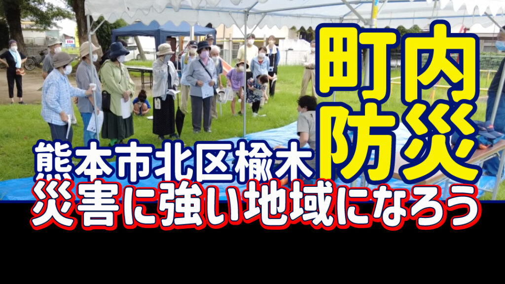
熊本市【町内防災イベント】楡木地区
楡木地区の自治会との関わり これまでも「災害に強い地域になろう」を目標に長期で… -
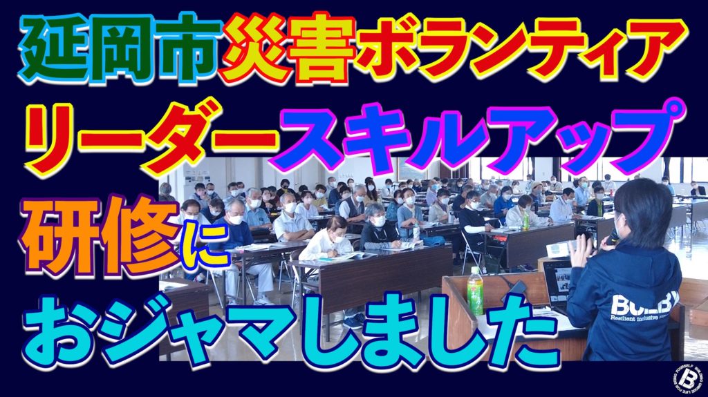
延岡市【災害ボランティアリーダースキルアップ研修】延岡市社協
令和4年度延岡市 災害ボランティアリーダー スキルアップ研修 2022.06.12 延…